Air quality near me: which DOE station covers your area?
Updated 2 min read
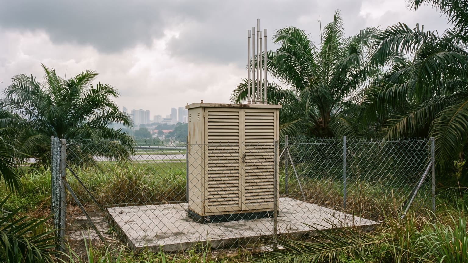
The Department of Environment runs 68 monitoring stations across Malaysia. Most areas, including plenty of busy ones, have no station of their own. The nearest station's reading is the best guide there is, as long as you know which station that is.
Distances below are straight lines from the centre of each area to the station. Every city page on this site names the station it uses.
Klang Valley
| Area | Nearest station | Distance | See page |
|---|---|---|---|
| Bangsar | Cheras | 6 km | Kuala Lumpur |
| Bukit Jalil | Cheras | 6 km | Kuala Lumpur |
| OUG | Cheras | 7 km | Kuala Lumpur |
| Ampang | Cheras | 7 km | Kuala Lumpur |
| Seri Kembangan | Cheras | 9 km | Kuala Lumpur |
| Setapak | Batu Muda | 4 km | WP Kuala Lumpur |
| Kepong | Batu Muda | 5 km | WP Kuala Lumpur |
| Mont Kiara | Batu Muda | 6 km | WP Kuala Lumpur |
| Gombak | Batu Muda | 6 km | WP Kuala Lumpur |
| Rawang | Batu Muda | 17 km | WP Kuala Lumpur |
| Bandar Utama | Petaling Jaya | 2 km | Petaling Jaya |
| Damansara | Petaling Jaya | 2 km | Petaling Jaya |
| Subang Jaya | Shah Alam | 6 km | Shah Alam |
| Bandar Sunway | Shah Alam | 7 km | Shah Alam |
| Puchong | Shah Alam | 11 km | Shah Alam |
| Kota Kemuning | Johan Setia | 6 km | Selangor |
| Cyberjaya | Putrajaya | 5 km | Putrajaya |
| Kajang | Putrajaya | 14 km | Putrajaya |
| Bandar Enstek | Nilai | 10 km | Nilai |
Southern Johor
| Area | Nearest station | Distance | See page |
|---|---|---|---|
| Pasir Gudang | Pasir Gudang | 1 km | Johor |
| Skudai | Larkin | 10 km | Johor Bahru |
| Iskandar Puteri | Larkin | 13 km | Johor Bahru |
| Ulu Tiram | Larkin | 15 km | Johor Bahru |
| Kulai | Larkin | 24 km | Johor Bahru |
Penang and Kedah
| Area | Nearest station | Distance | See page |
|---|---|---|---|
| Butterworth | Seberang Jaya | 4 km | Penang |
| Bukit Mertajam | Seberang Perai | 4 km | Penang |
| Bayan Lepas | Balik Pulau | 7 km | Penang |
| Kulim | Kulim Hi-Tech | 5 km | Kedah |
Elsewhere
| Area | Nearest station | Distance | See page |
|---|---|---|---|
| Lumut | Seri Manjung | 5 km | Perak |
| Penampang | Kota Kinabalu | 8 km | Kota Kinabalu |
| Bintangor | Sarikei | 13 km | Sarawak |
| Cherating | Kemaman | 15 km | Kemaman |
| Genting Highlands | Batu Muda | 26 km | WP Kuala Lumpur |
| Cameron Highlands | Tasek Ipoh | 34 km | Ipoh |
The further the station, the rougher the guide. Two stations in the same city have read tens of points apart in the same hour. For highlands such as Genting and Cameron, the nearest station sits in the lowlands at a very different altitude, so treat its reading as a broad picture only.
How to use it
- Open the city or state page in the table. Every city page names its station and warns you when another station nearby reads a different band.
- If your area sits about as far from two stations, check both on the state page and go by the higher reading for health decisions.
- Local rain and wind direction can change things within a few kilometres. If the sky looks worse than the number, trust your eyes.